 Oregon
Oregon
Oregon
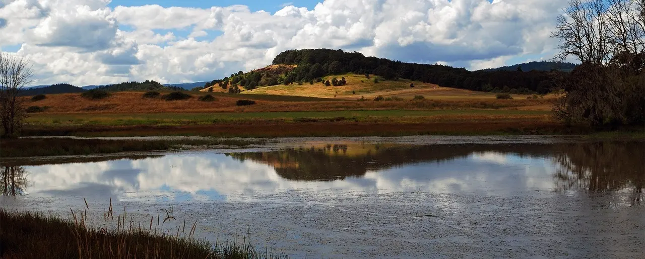
This National Natural Landmark preserves something the Missoula Floods created by accident: one of the largest remnants of native grassland in the Pacific Northwest, growing in the nutrient-rich sediments deposited by floodwaters that...
This National Natural Landmark preserves something the Missoula Floods created by accident: one of the largest remnants of native grassland in the Pacific Northwest, growing in the nutrient-rich sediments deposited by floodwaters that filled the Willamette Valley to 400 feet above sea level. The floodplain's fertile clay and silty clay soils -- known as pluvial deposits -- were laid down when the floods backed up from the Columbia Gorge and formed temporary Lake Allison across the entire valley. When the waters receded, they left behind these remarkably productive soils that now support tufted hair grass prairie, sedge meadows, Oregon ash forests, and hawthorn-rose shrublands. The landmark harbors five vascular plant species listed as candidate threatened or endangered, along with the Oregon chub and other rare animals. The complex matrix of grassland communities here represents the full range of bottom-land habitats once common throughout the interior valleys of Oregon and Washington, most of which have been lost to agriculture. This is a living demonstration that the floods' destructive power created ecological abundance that endures 15,000 years later.
Inside William L. Finley National Wildlife Refuge, 10 miles south of Corvallis, Oregon, off Hwy 99W. Refuge is open dawn to dusk daily and is free. Visitor Center hours: Monday–Friday 8 a.m.–4 p.m., weekends 10 a.m.–4 p.m., closed federal holidays. The 713-acre NNL is accessed by foot trails from the refuge interior.
The Willamette Floodplain NNL preserves the largest remaining unplowed native bottomland grassland in the North Pacific Border region, but the relevant Ice Age Floods context here is the substrate. During the largest Missoula floods (peak at 18.2 ka), the Columbia River Gorge constriction at Kalama could not pass the discharge fast enough; water backed up south into the Willamette Valley, forming a temporary lake roughly 400 ft (120 m) deep at Portland and ~180 ft at the present Finley refuge location. As the lake decanted between flood pulses, it deposited the silty, fertile valley-fill soils now called the Willamette Silt; it also stranded ice-rafted erratics across the valley including the 90-ton Bellevue Erratic west of McMinnville. The Finley flatlands and their unusual native-grassland mosaic exist because the Willamette Silt produced a poorly drained substrate that resisted conversion to tilled farmland. The flood connection here is therefore real but secondary, this is a soil and landscape consequence rather than a place where flood erosion or bedforms can be seen.
USGS Open-File Report 2003-408 (O'Connor and others) maps Willamette Valley flood inundation depths and erratic distribution; remains the standard reference. No newer site-specific work has been published; the Balbas et al. (2017) chronology applies to the upstream source pulses.
The IAFI Lower Columbia Chapter covers the Willamette Valley but does not maintain a panel or partnership specifically at the Finley NNL. The Willamette Floodplain is listed as an Ice Age Floods National Geologic Trail feature.
Best March through May (wildflowers, migrating waterfowl) or fall. The Woodpecker Loop (1.1 miles) and Homer Campbell Boardwalk are the most accessible introductions; Finley's prairie units are exceptional for birding (260+ species recorded).
Flood-extent overlay shows the maximum reach of the Missoula Floods.
The site in its place along the flood path, with the maximum flood extent drawn over the modern map.
View on the interactive map Searchable sites · 360° trails · flood reconstruction