 Washington
Washington
Washington
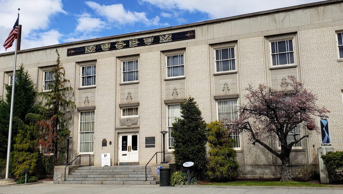
The Wenatchee Valley Museum and Cultural Center preserves the history, arts, and sciences of the upper Columbia region -- including the story of the Ice Age Floods that shaped the valley where the city sits. The museum's collection...
The Wenatchee Valley Museum and Cultural Center preserves the history, arts, and sciences of the upper Columbia region -- including the story of the Ice Age Floods that shaped the valley where the city sits. The museum's collection includes geological specimens and interpretive displays about the floods that inundated the Wenatchee Valley when floodwaters surged down the Columbia corridor. At the confluence of the Wenatchee and Columbia Rivers, the valley was deeply submerged during flood events, and the terraces on which the city is built are composed of flood-deposited gravels and sediments. The museum connects the geological story to the human one, from the first inhabitants who arrived after the floods reshaped the landscape to the apple orchards that now thrive in the fertile flood deposits. Programs and exhibits explore the natural sciences alongside local cultural history, making this an excellent stop for understanding how the floods created the productive landscape that sustains the region today. The museum sits in the heart of a town built entirely on ice age flood debris.
Open Tuesday through Saturday, 10 a.m.–4:30 p.m.; first Friday of the month open until 8 p.m. with free admission. General admission $5 adult / $4 senior or student / $2 ages 6–12 / free under 6 and for members. Located at 127 S. Mission Street in downtown Wenatchee.
The museum interprets the Wenatchee Valley's Missoula-floods record in its permanent gallery, the dense erratic field, depth of inundation, and shifting flood routes, alongside the Clovis-era cultural record (11,500-year-old Clovis points found in an East Wenatchee orchard) and Wenatchi tribal history. The museum is the meeting site of the IAFI Wenatchee Valley Erratics chapter and serves as the primary visitor-facing interpretation point for the Ice Age Floods story in north-central Washington.
The museum hosts regular geology talks by Brent Cunderla (and others) drawing on current literature. No museum-led peer-reviewed publications, but the institution's programming reflects current Balbas et al. (2017) chronology.
This is the home institution of the IAFI Wenatchee Valley Erratics Chapter, the founding chapter of the Ice Age Floods Institute (2001). The museum hosts the chapter's monthly meetings, sells the "Sculpted by Floods" DVD, organizes Ice Age Floods bus tours to Grand Coulee and Dry Falls, and maintains an audio tour of regional flood sites. This is the strongest IAFI partnership of any site in this batch.
Plan 1–2 hours for the museum itself; check the IAFI events calendar for scheduled bus tours if you want a guided geology day-trip on top of the indoor visit.
Flood-extent overlay shows the maximum reach of the Missoula Floods.
The site in its place along the flood path, with the maximum flood extent drawn over the modern map.
View on the interactive map Searchable sites · 360° trails · flood reconstruction