 Montana
Montana
Montana
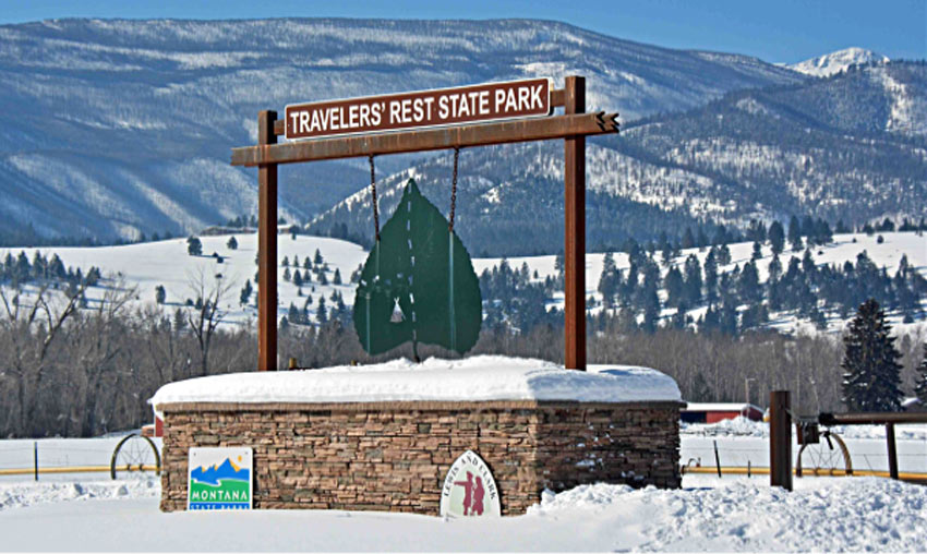
Travelers' Rest State Park near Lolo, Montana, is the only archaeologically verified Lewis and Clark campsite in the nation -- and it sits on ground that was repeatedly submerged beneath Glacial Lake Missoula during the ice ages. The Corps...
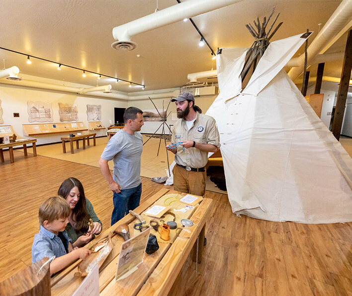
Travelers' Rest State Park near Lolo, Montana, is the only archaeologically verified Lewis and Clark campsite in the nation -- and it sits on ground that was repeatedly submerged beneath Glacial Lake Missoula during the ice ages. The Corps of Discovery camped here in September 1805 and again in June-July 1806 at this historic crossroads where the Bitterroot and Clark Fork valleys meet. Fifteen thousand years before Lewis and Clark, the same spot lay beneath hundreds of feet of glacial lake water, and the fertile soils the explorers found supporting abundant game and plant life were deposited by those flood events. The park's interpretive exhibits tell the human story, but the landscape itself tells the geological one: look at the surrounding hillsides for the strand lines of Glacial Lake Missoula, the horizontal benches marking successive lake levels. This park uniquely connects the Missoula Floods story to the Lewis and Clark story, two of the American West's greatest narratives intersecting at a single campsite. Stand where the Corps stood and imagine the water that once filled this valley to the mountaintops.



Flood-extent overlay shows the maximum reach of the Missoula Floods.
The site in its place along the flood path, with the maximum flood extent drawn over the modern map.
View on the interactive map Searchable sites · 360° trails · flood reconstruction