 Montana
Montana
Montana
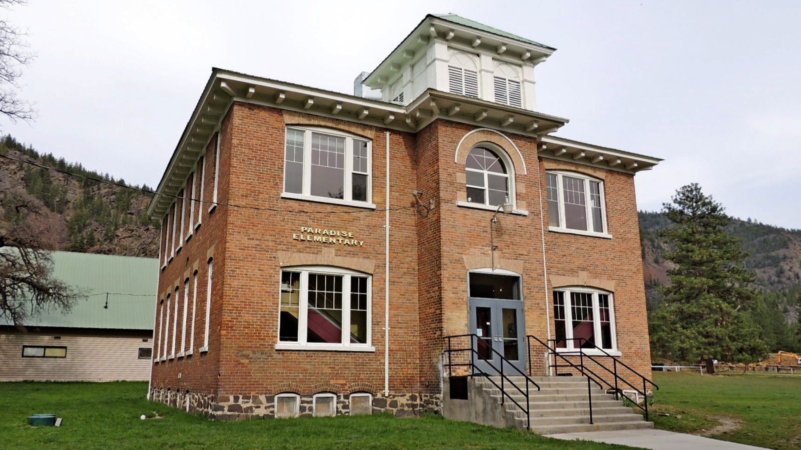
The old Paradise Elementary School in this tiny railroad community at the confluence of the muddy Clark Fork and blue Flathead Rivers has been reborn as a visitors center with a unique treasure: an interactive 3-D topographical relief map...
The old Paradise Elementary School in this tiny railroad community at the confluence of the muddy Clark Fork and blue Flathead Rivers has been reborn as a visitors center with a unique treasure: an interactive 3-D topographical relief map showing the entire area covered by Glacial Lake Missoula. The community of Paradise was repeatedly inundated by the lake, which filled these valleys to depths of hundreds of feet during each of the 40 to 100 filling cycles over roughly 4,000 years. Evidence is everywhere in the surrounding landscape: gulch fills where flood debris plugged side canyons, kolk depressions drilled by underwater vortices, and bluffs of fine lake-bottom sediment deposited when the waters were still. The center sits on the route between the famous Camas Prairie Ripples and Eddy Narrows, making it a natural stop for anyone driving the Montana section of the Ice Age Floods trail. The scenic approach from the St. Regis exit off I-90 follows the Clark Fork River past scour marks, displaced boulders, and golden larch forests in fall. Paradise Center's relief map alone is worth the detour -- it makes the vast geography of the lake suddenly comprehensible.
The Paradise Center occupies the former Paradise Elementary School at 2 School House Hill Road in Paradise, Montana, about 70 miles northwest of Missoula. Hours are seasonal, generally Wednesday through Saturday, 11 a.m. to 3 p.m. in summer. Verify before visiting at paradisecentermt.org or 406-826-0500. Operated by a community non-profit; admission is free or donation-based.
The center sits just below the confluence of the Clark Fork and Flathead Rivers, in country that was repeatedly inundated by Glacial Lake Missoula. At lake maximum (shoreline ~4,200 feet), Paradise lay under hundreds of feet of water; gulch fills, kolks, and lake-bottom sediment bluffs along the surrounding hillsides record this history. The Paradise Center features an interactive 3-D topographic relief map of the entire Glacial Lake Missoula basin, useful for understanding scale and geometry, together with text and image displays on the lake and the catastrophic-drainage events that drained it.
No center-specific recent publications located. Regional updates to Glacial Lake Missoula chronology come from the USGS review (O'Connor and Baker 2020) and cosmogenic-dating studies anchored to the Balbas et al. (2017) 18.2 ka framework.
Recognized by NPS as a partner visitor center for the Ice Age Floods National Geologic Trail. The Glacial Lake Missoula Chapter (Missoula, MT) is the nearest IAFI chapter and partners on programming.
Best visited summer (June–September) when reliably open; the surrounding drive between Camas Prairie Ripples and Eddy Narrows gives you flood landforms on both sides of the visit. Combine with a stop in St. Regis or at the Montana Natural History Center's Glacial Lake Missoula exhibit in Missoula.
Flood-extent overlay shows the maximum reach of the Missoula Floods.
The site in its place along the flood path, with the maximum flood extent drawn over the modern map.
View on the interactive map Searchable sites · 360° trails · flood reconstruction