 Washington
Washington
Washington
At the time of one of the earliest Missoula Flood releases, the Okanogan Lobe of the Cordilleran Ice Sheet had spread across the Columbia Valley but had not yet reached Moses Coulee. The result was spectacular: floodwaters poured down the...
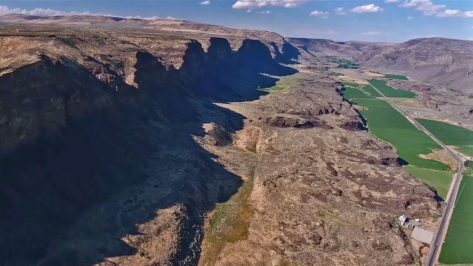
At the time of one of the earliest Missoula Flood releases, the Okanogan Lobe of the Cordilleran Ice Sheet had spread across the Columbia Valley but had not yet reached Moses Coulee. The result was spectacular: floodwaters poured down the coulee and deposited an enormous gravel bar -- the Great Gravel Bar of Moses Coulee, now designated a National Natural Landmark. This bar is a massive accumulation of flood debris containing boulders, cobbles, and gravel transported from mountains hundreds of miles away, deposited when the floodwaters lost velocity upon exiting the coulee. The bar's size and the caliber of material it contains speak to the extraordinary power of the early floods, which may have been the largest of all the Missoula Flood events because the ice dam and lake were at their maximum extent. Moses Coulee itself was carved by these early floods before the ice lobe advanced far enough south to divert water into the Grand Coulee. The Great Gravel Bar is thus a record of the floods' earliest and most powerful chapter, preserved as a National Natural Landmark in the central Washington landscape.
The Great Gravel Bar is a National Natural Landmark (designated 1986) in Douglas County, Washington, within The Nature Conservancy's Moses Coulee Preserve. Public access is via Palisades Road off US-2; the bar is best viewed from roadside pullouts rather than from a developed trail system. The Nature Conservancy permits hiking on the preserve; respect signage and stay on existing roads/trails. No services or fees.
This is the largest and best-documented pendant bar produced by the Missoula floods. The teardrop-shaped gravel deposit is 5.2 km long and up to 74 m wide, composed of pebble-cobble gravel with boulder lag on its surface, set within a coulee 180 m deep and 1.5 km wide. It formed during catastrophic flood discharge when the Okanogan Lobe diverted the Columbia River into Moses Coulee, sending erosive torrents through the channel; the bar accumulated in a sheltered position behind a flow obstruction, with an elongate eddy depression preserved on its west side. The largest floods, dated by Balbas et al. (2017) at 18.2 ± 1.5 ka, predate the Okanogan Lobe's blockage of the northwestern Columbia route; Moses Coulee was a major flood path during this earlier interval.
Cosmogenic 10Be dating by Hanson and colleagues, and the USGS review by O'Connor and Baker (2020), refined the role of Moses Coulee in the early flood chronology. No new bar-specific publications located since.
The Wenatchee Valley Erratics Chapter is the closest active IAFI chapter and runs field trips through the area. The IAFI website hosts a dedicated entry on the gravel bar.
Spring and fall are ideal; summer heat on the coulee floor exceeds 100°F regularly. Combine with Sims Corner Eskers and Kames and Boulder Park for a full Moses Coulee day; bring water and a map (cellular coverage is unreliable).
Flood-extent overlay shows the maximum reach of the Missoula Floods.
The site in its place along the flood path, with the maximum flood extent drawn over the modern map.
View on the interactive map Searchable sites · 360° trails · flood reconstruction