 Washington
Washington
Washington
Before J Harlen Bretz had satellites or drones, he had a notebook and a pair of boots. The Bretz Journals, brought to life through Professor Nick Zentner's collaboration with Central Washington University, document the original field...
Before J Harlen Bretz had satellites or drones, he had a notebook and a pair of boots. The Bretz Journals, brought to life through Professor Nick Zentner's collaboration with Central Washington University, document the original field research that led to one of geology's most revolutionary and controversial theories: that the Channeled Scablands were carved by catastrophic floods, not gradual erosion. These journals record Bretz's observations in meticulous detail as he walked the scablands in the 1920s, noting the giant gravel bars, erratic boulders, and dry cataracts that told a story no geologist before him had dared to propose. Now, using Google Earth, modern researchers and enthusiasts can retrace Bretz's exact routes and see the features he described from a perspective he never had: from above. The aerial view reveals patterns invisible at ground level -- the braided channels, the giant ripple marks, the systematic erosion of the plateau. This digital resource transforms armchair geologists into virtual field companions of the man who saw what no one else would believe, and it makes the case for catastrophic flooding more vividly than any textbook.
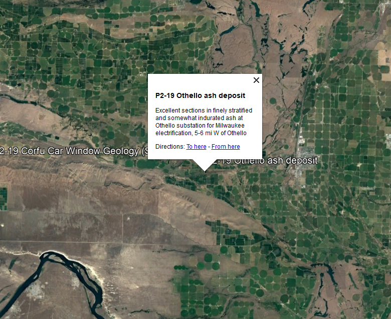
This is a digital resource, not a place. The journals are field notebooks kept by J Harlen Bretz from 1919 through 1929 documenting his geologic fieldwork in the Pacific Northwest. After Bretz's death in 1981, the papers were donated to the University of Chicago Library with limited access. Professor Nick Zentner (Central Washington University) obtained permission from the Bretz family to digitize the journals; scans and PDFs are now hosted publicly. Glenn Cruickshank of Liberty Lake, Washington, built companion Google Earth KMZ files that pin each journal entry to its mapped location.
The journals are the primary-source record of Bretz's gradual reconstruction of the Channeled Scabland and his 1923 outburst-flood hypothesis, the founding argument of Ice Age Floods science. The Cruickshank Google Earth overlay lets the modern reader follow Bretz's traverses year by year, see what he saw at each stop, and connect his interpretations to today's geographic context. As a research and education tool, it makes the empirical basis of the floods story directly accessible.
The Zentner-Cruickshank project itself is the relevant recent development. IAFI launched "Ice Age Floods A to Z" with Cruickshank in November 2023, and follow-up videos and chats remain available on YouTube and through Zentner's website.
IAFI hosts the project landing page and promotes it through chapter programming. It is not tied to a single chapter, the resource is national in scope.
Free. Requires Google Earth (desktop or mobile/web). Start at the IAFI landing page for instructions on downloading the KMZ files and the journal scans; pair with Zentner's free YouTube lectures for orientation.
Flood-extent overlay shows the maximum reach of the Missoula Floods.
The site in its place along the flood path, with the maximum flood extent drawn over the modern map.
View on the interactive map Searchable sites · 360° trails · flood reconstruction