 Idaho
Idaho
Idaho
Idaho
Northern Idaho is where the Ice Age Floods were born, and this collection of features scattered across the region tells the story from its dramatic opening chapter. The Purcell Trench, a structurally formed valley visible from Sandpoint's...
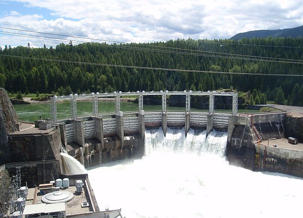
Northern Idaho is where the Ice Age Floods were born, and this collection of features scattered across the region tells the story from its dramatic opening chapter. The Purcell Trench, a structurally formed valley visible from Sandpoint's City Beach and Schweitzer Mountain Road, served as the highway for the glacial lobe that blocked the Clark Fork River and created Glacial Lake Missoula. Cabinet Gorge preserves the approximate location of the ice dam terminus, with glacial erosion and till on one side and flood deposits on the other. Glacial striations are visible along Highway 200 east of Hope, scratched into bedrock by rocks dragged beneath the ice. Giant erratics dot the landscape -- from City Beach in Sandpoint to Farragut State Park to a massive ice-rafted boulder weighing an estimated 200 tons in the Priest River area. The Hoodoo Channel south of Farragut preserves an abandoned outlet of Lake Pend Oreille, marked by closed depressions where stranded icebergs melted in place. This is ground zero for the Ice Age Floods, where ice, water, and geological catastrophe intersected to create the largest documented floods in Earth's history.
This is an IAFI essay/article on iafi.org, not a physical site. It functions as a self-guided tour key for visitors driving Highways 95, 200, and 54 in the Idaho Panhandle.
The article catalogs ten Northern Idaho features that record both the Cordilleran ice advance and the Missoula Flood outbursts: the Purcell Trench, Cabinet Gorge (the failure point of the ice dam), glacial striations along Highway 200 east of Hope, large erratics around Clark Fork and Sandpoint, Lake Pend Oreille's flood-scoured basin, giant current dunes near Castle Rock and Spirit Lake, rhythmite exposures at Lightning Creek Road, Spirit Lake itself (debris-dammed), Hoodoo Channel south of Careywood, and Farragut State Park on the Rathdrum Prairie outburst plain. Taken together these sites bracket the upstream end of the National Geologic Trail and let visitors see the ice-dam location, the lake-bottom sediments, and the immediate outwash all within one driving loop.
Original article prepared by Tony Lewis in January 2017, drawing on field work by Roy Breckenridge, Dean Garwood, Bruce Bjornstad, and Gene Kiver. No updates found since 2017.
The article is an IAFI Coeur Du Deluge Chapter resource; the chapter runs field trips covering many of these same sites.
Best read before a road trip through the Idaho Panhandle; pair with the IAFI "Glacial Geology Maps of North Idaho" packet for site coordinates. Most stops are roadside pullouts; Farragut and the Cabinet Gorge overlook are formal parks/viewpoints.



Flood-extent overlay shows the maximum reach of the Missoula Floods.
The site in its place along the flood path, with the maximum flood extent drawn over the modern map.
View on the interactive map Searchable sites · 360° trails · flood reconstruction