 Montana
Montana
Montana
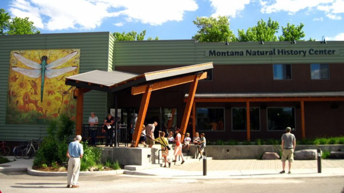
The Montana Natural History Center in Missoula sits in the heart of what was once Glacial Lake Missoula -- a body of water that held 500 cubic miles when full, covered 3,000 square miles, and reached depths of 2,000 feet at the ice dam. If...
The Montana Natural History Center in Missoula sits in the heart of what was once Glacial Lake Missoula -- a body of water that held 500 cubic miles when full, covered 3,000 square miles, and reached depths of 2,000 feet at the ice dam. If you stood at the museum's location 15,000 years ago, you would have been beneath roughly 950 feet of cold, sediment-laden water impounded by a lobe of the Cordilleran Ice Sheet blocking the Clark Fork River near Lake Pend Oreille, Idaho. The center features exhibits exploring the flora, fauna, geology, and ecology of Montana, with specific displays dedicated to Glacial Lake Missoula and the Ice Age Floods. The museum frequently partners with the Ice Age Floods Institute for field trips and lectures, and the Glacial Lake Missoula Chapter produced a short film about the lake that is available at the center. Step outside and look up at the strand lines on Mount Sentinel and Mount Jumbo -- those horizontal lines on the mountainsides are the ancient shorelines of the lake that once filled this entire valley. The center puts you inside the bathtub and helps you understand just how extraordinary it was.
Open Tuesday–Saturday 10 a.m.–4 p.m.; closed Sunday and Monday. Suggested donation $5 adult, $2 child. Located at 120 Hickory Street in Missoula, Montana (off South 3rd Street West, near McCormick Park). Wheelchair accessible.
The center holds the most complete public Glacial Lake Missoula exhibit on the trail: the "Explore Glacial Lake Missoula" gallery covers Joseph Pardee's 1940s identification of the lake, the dam-fill-drain cycle, strandlines, and the downstream flood story through Idaho, Washington, and Oregon. Visitors can pick up a driving-route map of Glacial Lake Missoula landmarks (Eddy Narrows, Camas Prairie ripples, Bison Range, strandlines). The center is the trail's principal indoor anchor for the Missoula end of the flood story, the same role the Columbia Gorge Discovery Center plays for the Washington/Oregon downstream end.
The center hosts the annual Cabin Fever Lecture series; 2024–2025 featured a talk on the Hanson and Smith strandline re-interpretation. Center staff partner with University of Montana geosciences faculty and the Glacial Lake Missoula Chapter on ongoing public-facing research dissemination.
The Glacial Lake Missoula Chapter is the center's primary IAFI partner; the chapter often co-hosts lectures and field trips. The center is a formal partner site on the Ice Age Floods National Geologic Trail.
Best year-round (indoor exhibit). Combine with the strandline trails on Mount Sentinel and Mount Jumbo (above) and the Garnet Range Pardee-flood overlook east of Missoula on I-90.
We have a variety of exhibits that focus on the flora, fauna, geology, and ecology of our beautiful state. Please stop by and visit!
MNHC often partners with the Ice Age Floods Institute to share fields trips and lectures about the Ice Age Floods.
MNHC has exhibits that help visitors explore the Glacial Lake Missoula and Ice Age Floods.
Learn more at:Explore Glacial Lake Missoula | Montana Natural History Center (montananaturalist.org)
The Glacial Lake Missoula Chapeter of the Ice Age Floods Institue also produced a short movie about Glacial Lake Missoula. You can find a linkhere.
Visit us atFacebook,Mastodonand ourYouTube Channel.
Ice Age Floods Institute is a 501(c)(3) tax-exempt non-profit EIN 91-1658221Donations and member fees may be tax deductible
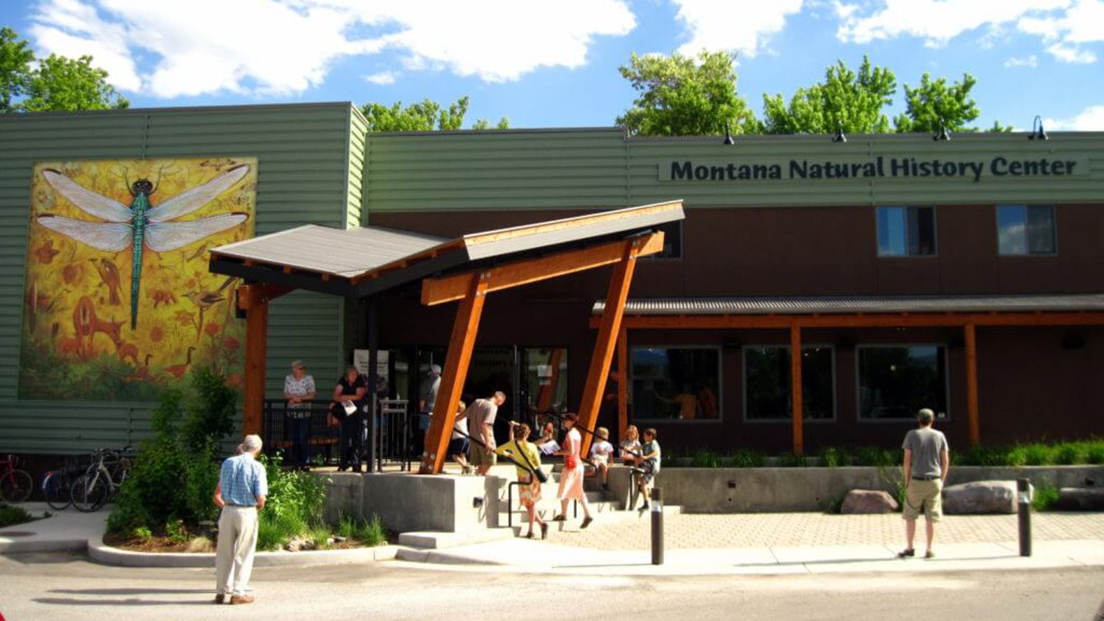
Flood-extent overlay shows the maximum reach of the Missoula Floods.
The site in its place along the flood path, with the maximum flood extent drawn over the modern map.
View on the interactive map Searchable sites · 360° trails · flood reconstruction