 Idaho
Idaho
Idaho
Idaho
Green Monarch Ridge near Clark Fork, Idaho, marks one of the key locations where the Cordilleran Ice Sheet met the waters of Glacial Lake Missoula. This forested ridgeline along the Clark Fork River preserves evidence of the glacial...
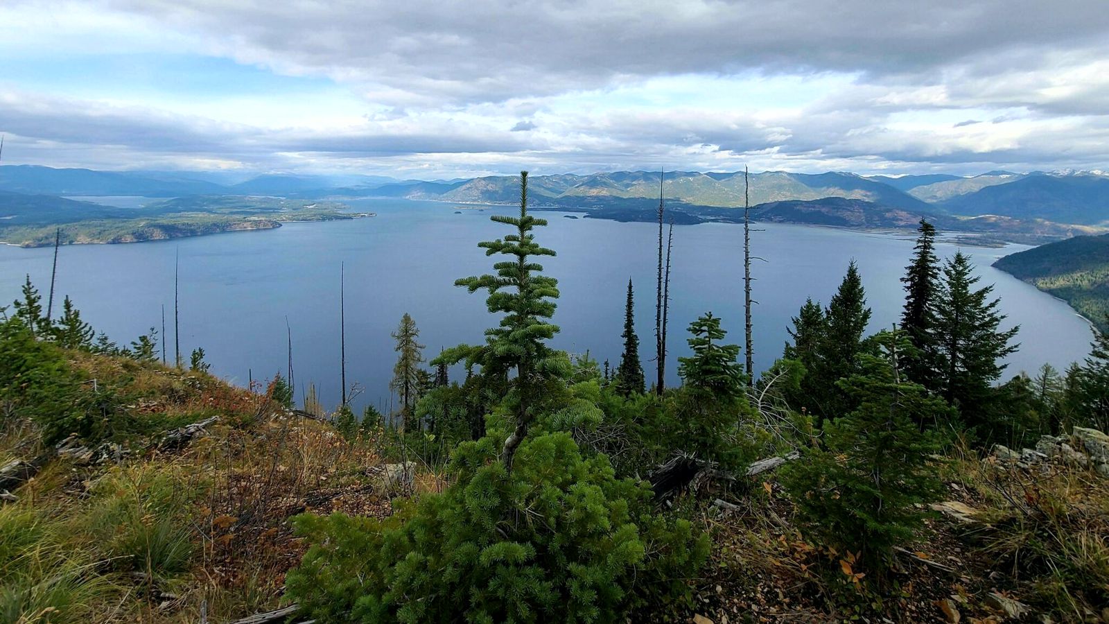
Green Monarch Ridge near Clark Fork, Idaho, marks one of the key locations where the Cordilleran Ice Sheet met the waters of Glacial Lake Missoula. This forested ridgeline along the Clark Fork River preserves evidence of the glacial dynamics that created and repeatedly destroyed the ice dam responsible for the floods. The Purcell Trench Lobe of the ice sheet advanced down the valley past Green Monarch Ridge, blocking the Clark Fork and impounding the lake behind it. Glacial striations, erratic boulders, and till deposits along the ridge record the ice's passage, while flood-deposited gravels on nearby slopes testify to the catastrophic events when the dam failed. The view from the ridgeline encompasses the narrow valley where ice and water waged their cyclic battle, with Lake Pend Oreille visible to the west and the Clark Fork valley stretching east toward Montana. Idaho State Route 200, about one mile west of Hope, provides access to this site where the ice age drama of damming, flooding, and rebuilding played out dozens of times over thousands of years.
Public roadside viewpoint, free, open year-round. The pullout sits on Idaho SR 200 about one mile west of Hope, Idaho and 15 miles east of Sandpoint. There are no facilities; visitors view the ridge and Lake Pend Oreille from the highway.
Green Monarch Ridge is the south buttress against which the Purcell Trench Lobe of the Cordilleran Ice Sheet wedged to form the ice dam that impounded Glacial Lake Missoula. The lobe advanced south down the Purcell Trench and met Green Monarch Ridge across the Clark Fork River outlet, repeatedly forming a roughly 2,000-foot-tall ice plug that backed water more than 200 miles into western Montana. Each time the dam failed (between ~18.2 ka and 14 ka, per Balbas et al. 2017) the floodwaters poured west and south through the Rathdrum Prairie toward Spokane. The ridge itself is bedrock, Belt Supergroup metasedimentary rock that resisted ice scour. From the pullout, the geometry of the ice dam (its location, abutments, and approximate height marked on the surrounding hillsides) is more visible than at almost any other site on the trail.
No site-specific updates found since Balbas et al. 2017 reaffirmed the 18.2–14 ka flood window. The ice-dam geometry described in Breckenridge (1989) and refined in subsequent work remains the standard reference.
The Coeur du Déluge Chapter (Sandpoint area) runs regular interpretive trips that include the Green Monarch pullout, and Tony Lewis of that chapter has led joint trips with the Glacial Lake Missoula Chapter. An NPS interpretive panel at the pullout is part of the formal Ice Age Floods National Geologic Trail.
Best May through October; views improve in spring when high water masks the modern shoreline and the ridge stands above. No trail required, pull off and look across the lake.
Flood-extent overlay shows the maximum reach of the Missoula Floods.
The site in its place along the flood path, with the maximum flood extent drawn over the modern map.
View on the interactive map Searchable sites · 360° trails · flood reconstruction