 Washington
Washington
Washington
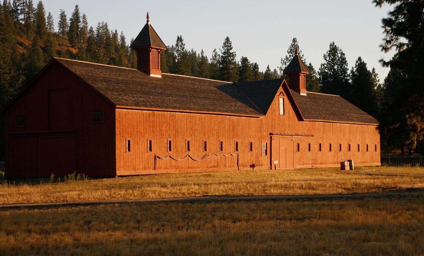
Fort Spokane sits above the confluence of the Spokane and Columbia Rivers, a gathering place for Native American tribes for thousands of years that was entirely submerged beneath Glacial Lake Columbia during the ice age. The Okanogan Lobe...
Fort Spokane sits above the confluence of the Spokane and Columbia Rivers, a gathering place for Native American tribes for thousands of years that was entirely submerged beneath Glacial Lake Columbia during the ice age. The Okanogan Lobe of the Cordilleran Ice Sheet blocked the Columbia River downstream, impounding a vast lake that covered this area under hundreds of feet of water and left behind fine lake-bottom sediments now visible in the surrounding bluffs. When the Missoula Floods arrived, the already-impounded lake waters were pushed even higher, and the combined forces scoured the landscape. The U.S. Army established a fort here in 1880, and the buildings later served as an Indian boarding school and tuberculosis hospital -- a complex and layered human history on a landscape shaped by ice age forces. Today the Visitor Center, part of Lake Roosevelt National Recreation Area, interprets both the cultural and geological history. The bluffs around Fort Spokane expose glacial lake sediments in sharply defined layers, each one recording a period when this land lay beneath an ice-dammed inland sea.
The Fort Spokane Visitor Center and Museum is operated by Lake Roosevelt National Recreation Area at the confluence of the Spokane and Columbia Rivers, about 25 miles north of Davenport, Washington. It is open seasonally Friday–Sunday, 9:30 a.m.–5 p.m., approximately late May through early September; the campground and grounds are accessible year-round. No entrance fee for the museum; the campground charges nightly fees. Contact (509) 754-7893; 2026 hours may vary due to a projected maintenance project.
Fort Spokane is not a primary flood-feature site, it is interpretive infrastructure within Lake Roosevelt NRA, which sits along the reach of the Columbia River that carried Missoula floodwaters when the Okanogan lobe was absent. The visitor center includes Ice Age Floods context within its broader exhibits on geologic, military, and tribal history. The 18.2 ± 1.5 ka western-route flood (per Balbas et al. 2017) ran down this stretch of the Columbia before the Okanogan lobe later blocked the route and pushed flow east through the Grand Coulee. The Spokane River channel itself was repeatedly back-flooded.
No site-specific research published since 2017. No updates found since the Balbas et al. 2017 chronology.
Within the Cheney-Spokane chapter's interpretive territory; the chapter has periodically partnered on programs at the visitor center.
Memorial Day through Labor Day for the museum. The site's primary attractions are the historic fort buildings and Lake Roosevelt access; treat the Ice Age Floods component as supplementary.
Ice Age Floods National Geologic Trail
“Fort Spokane is one of the cultural jewels of Lake Roosevelt National Recreation Area. For thousands of years, the area was a gathering place for native tribes fishing the rapids of the Spokane River. In 1880, the U.S. Army established a fort above the confluence of the Spokane and Columbia Rivers. In 1898, the military fort was closed. The buildings were then used as an Indian boarding school and tuberculosis hospital. In many ways, the Indian experience at Fort Spokane is a microcosm of the Indian experience across the United States.”
Address: 44150 District Office Ln, Davenport, WA 99122Phone: (509) 754-7893
Visit us atFacebook,Mastodonand ourYouTube Channel.
Ice Age Floods Institute is a 501(c)(3) tax-exempt non-profit EIN 91-1658221Donations and member fees may be tax deductible
Flood-extent overlay shows the maximum reach of the Missoula Floods.
The site in its place along the flood path, with the maximum flood extent drawn over the modern map.
View on the interactive map Searchable sites · 360° trails · flood reconstruction