 Idaho
Idaho
Idaho
Idaho
This is where the Ice Age Floods began: the site near Clark Fork, Idaho, where the Purcell Trench Lobe of the Cordilleran Ice Sheet blocked the Clark Fork River and created the 500-cubic-mile Glacial Lake Missoula behind it. The ice dam...
Narrated audio coming soon · full transcript below
There is no waterfall here and no canyon, and that is the point. This quiet stretch of the Clark Fork River is where every one of the Ice Age Floods began.
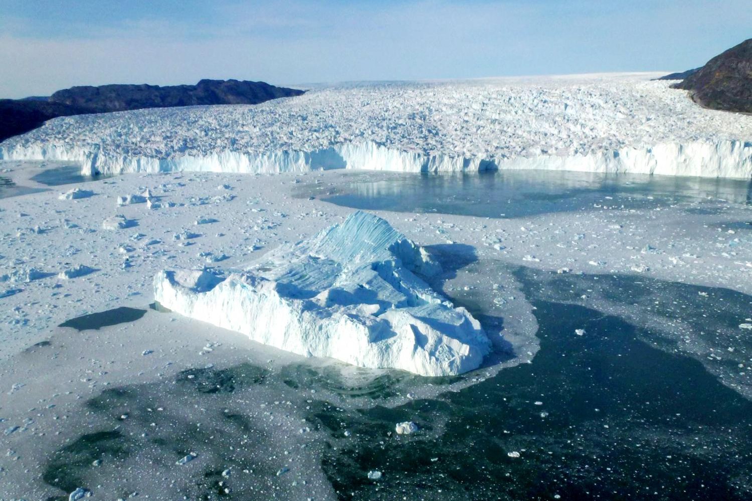
During the last ice age, a tongue of the great Canadian ice sheet pushed south down the Purcell Trench and jammed against the valley here, building a dam of ice up to 2,000 feet tall. Behind it the Clark Fork backed up into Glacial Lake Missoula, which held about 500 cubic miles of water, as much as Lakes Erie and Ontario combined.
Ice floats. Eventually the lake rose high enough to lift and shatter its own dam, and the entire lake drained in a matter of days. Then the glacier crept back, the dam rebuilt, the lake refilled, and it happened all over again. Dozens of times.
Why it matters: stand here and you are at the trigger. Everything downstream, the scabland, Dry Falls, the erratics 400 miles away in Oregon, traces back to this one spot and a dam made of ice that could not hold.
Bring this stop into the classroom: NPS “Investigating Ice Age Floods” Teacher’s Guide →
This is where the Ice Age Floods began: the site near Clark Fork, Idaho, where the Purcell Trench Lobe of the Cordilleran Ice Sheet blocked the Clark Fork River and created the 500-cubic-mile Glacial Lake Missoula behind it. The ice dam stood roughly 4,000 feet tall at its thickest point, forming a plug of glacial ice that held back more water than Lake Ontario and Lake Erie combined. How exactly this ice dam failed remains one of geology's most intriguing questions: theories include flotation when lake levels reached nine-tenths the ice height, subglacial tunnel erosion that progressed to catastrophic collapse, and sudden fracturing under hydrostatic pressure. Only a total collapse of the dam can explain the largest floods, which released water at an estimated 14 to 21 million cubic meters per second. Core samples from the nearby Cabinet Gorge Dam construction revealed multiple cycles of ice damming and flooding, confirming that this catastrophic sequence repeated 40 or more times. This quiet stretch of the Clark Fork River conceals the trigger point for the largest floods ever documented on our planet.
The Clark Fork Ice Dam site is not a single fenced attraction but a geographic location, the eastern end of Lake Pend Oreille at the town of Clark Fork, Idaho, where the Cordilleran Ice Sheet's Purcell Trench Lobe repeatedly advanced southwest across the Clark Fork River. Public access is via Idaho Highway 200 (the Pend Oreille Scenic Byway) and the public lakeshore at Clark Fork and Hope. There is no NPS visitor center on site; interpretive panels are limited to a roadside wayside and informational displays maintained in the town. Year-round access; no fees.
This is the source, the ice dam whose periodic collapse caused every Missoula flood. The lobe pushed south through the Purcell Trench from the Selkirk Mountains, blocking the Clark Fork drainage and impounding Glacial Lake Missoula behind a wall of ice typically around 2,000 feet high (some reconstructions to 4,000 feet) at this exact location. Lake Missoula filled to over 500 cubic miles, the equivalent of Lakes Erie and Ontario combined. The dam failed roughly 40+ times over a 2,000-year span ending around 14 ka. The northern shoreline of Lake Pend Oreille (Green Monarchs cliff face) shows the abraded rock where the southward-moving ice ground against the bedrock wall.
Balbas et al. (2017) refined the chronology, dating the largest floods at ~18.2 ± 1.5 ka and the youngest at ~14.0–14.4 ka. The Idaho Geological Survey field guide "Mapping the Deluge: Sandpoint to Cabinet Gorge Dam" (Breckenridge, 2014) remains the standard interpretive resource. The 2020 O'Connor et al. USGS review consolidates the dam-failure mechanisms.
Strong. The IAFI Coeur du Deluge Chapter (Sandpoint) is the responsible chapter and runs guided boat trips along the north shore of Lake Pend Oreille past the historic ice-dam location. IAFI maintains a dedicated Clark Fork Ice Dam page.
Best May through September. Boat tours of the lake are the best way to grasp the scale; drive Highway 200 between Sandpoint and Cabinet Gorge Dam for the most informed road-trip experience.

Flood-extent overlay shows the maximum reach of the Missoula Floods.
The site in its place along the flood path, with the maximum flood extent drawn over the modern map.
View on the interactive map Searchable sites · 360° trails · flood reconstruction